Managing land survey points, coordinate lists, and topographical data manually can be a time-consuming process for civil engineers and designers. Fortunately, working within the Autodesk ecosystem allows you to streamline your workflow by directly importing spreadsheet information into your design environment. In this step-by-step guide, we will walk you through how to efficiently import data from Microsoft Excel into Civil 3D to save time and eliminate formatting errors.
Why Import Excel Data into Civil 3D?
Excel is the go-to tool for managing raw survey points, coordinates (Easting, Northing, Elevation), and tabular site data. Manually typing these values into your design workspace is not only tedious but also increases the risk of costly human errors. Importing your spreadsheets directly ensures pinpoint accuracy, speeds up initial site setup, and helps keep your infrastructure projects on schedule.
Step-by-Step: Importing Your Excel File
- Prepare Your Excel Spreadsheet: Before importing, organize your data into clean columns (such as Point Number, Northing, Easting, Point Elevation, and Raw Description). Remove any unnecessary headers, text notes, or blank rows.
- Save in the Correct Format: Save your Excel sheet as a CSV (Comma Delimited) or TXT (Tab Delimited) file, as Civil 3D processes text-based point files natively.
- Open Point Creation Tools: Launch Civil 3D, head to the Home tab on the ribbon, and select Points > Point Creation Tools.
- Choose Import Points: On the Create Points toolbar, click the Import Points button (represented by a green plus icon).
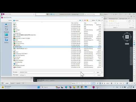
- Select Your File and Format: Click the plus icon to browse and select your saved CSV or TXT file. Under the Specify Point File Format section, choose the format that matches your column order (e.g., PNEZD for Point, Northing, Easting, Elevation, Description).
- Execute the Import: Optionally, check the box to add points to a specific Point Group for better organization, then click OK. Your survey points will instantly populate in the model space.
Boost Your Project Efficiency
Integrating spreadsheets with modern Autodesk Civil 3D workflows helps engineering professionals automate repetitive tasks and maintain strict data integrity across teams. Whether you are working on road design, site grading, or utility planning, mastering this simple data transfer technique is essential for boosting productivity.
By leveraging these built-in tools developed by Autodesk, you can focus less on manual data entry and more on creating innovative, sustainable engineering designs.


