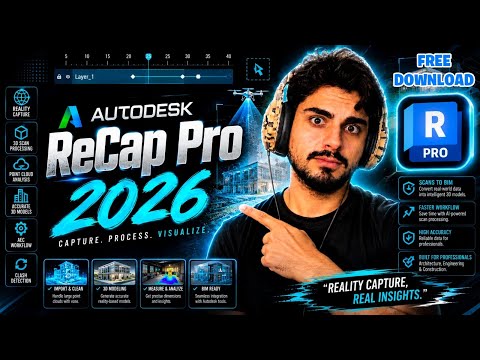
In today's fast-paced architecture, engineering, and construction (AEC) industries, capturing real-world environments and converting them into accurate digital assets is crucial. One of the most powerful tools available for this reality capture process is ReCap Pro, a cutting-edge software solution developed by Autodesk.
Whether you are an architect, surveyor, or 3D designer, learning how to download and utilize this software can significantly transform your project workflows.
What is ReCap Pro?
ReCap Pro is a specialized software application that converts physical reality into high-accuracy 3D digital models. Using advanced photogrammetry and laser scanning technology, the software processes laser scans and drone photos to create detailed point clouds and 3D meshes.
Instead of manually measuring complex structures, professionals can scan a building or environment and import the data directly into the application. This eliminates human error and drastically reduces the time required for site surveys.
Key Features and Benefits
- Laser Scan and Photo Capture: Seamlessly combine aerial photos from drones and terrestrial laser scans to generate comprehensive spatial data.
- High-Precision Point Clouds: Generate detailed point clouds that offer seamless integration with other Autodesk tools like Revit and AutoCAD.
- Real-Time Measurement and Markup: Measure distances, areas, and angles accurately within the digital model, making collaboration simple across remote teams.
How to Download and Get Started
Getting started with reality capture is straightforward. Follow these simple steps to download and set up the software:
- Visit the Official Site: Go to the official Autodesk website and search for ReCap Pro.
- Choose Your Plan: You can access a free trial to explore its capabilities or select a subscription plan tailored to your team's needs.
- Install the Application: Download the installer and follow the on-screen instructions to set up the software on your workstation.
- Import Your Data: Launch the program, start a new project, and import your laser scan files or drone imagery to begin generating your 3D model.
Conclusion
Bridging the gap between the physical and digital worlds has never been easier. By adding reality capture to your workflow, you can create precise 3D models of real buildings, streamline design processes, and enhance overall project accuracy. Start exploring the capabilities of modern scan-to-BIM technology today!


