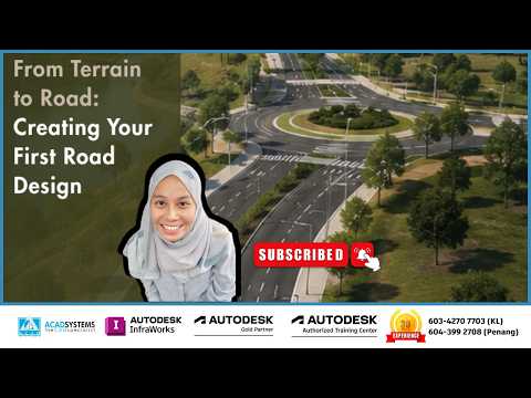
Designing infrastructure projects begins long before the first shovel hits the dirt. Transforming raw topography into a functional, safe, and efficient roadway requires precise modeling and intuitive tools. If you are a civil engineer, urban planner, or CAD designer looking to streamline your preliminary workflow, learning Autodesk InfraWorks is one of the best investments you can make.
In this guide, we will walk you through the essential steps to create your very first component road design directly on top of existing terrain data.
Why Choose Autodesk InfraWorks for Road Modeling?
Before diving into the design steps, it helps to understand why modern civil infrastructure professionals rely on software solutions from Autodesk. InfraWorks excels at creating rich, real-world context models in a fraction of the time required by traditional CAD software. By aggregating GIS data, aerial imagery, and elevation models, you get a dynamic 3D digital canvas ready for preliminary design, optimization, and stakeholder presentations.
Step-by-Step: Turning Raw Terrain into a Finished Road
Ready to build your first roadway? Here is a simplified breakdown of how to transition from conceptual terrain to a structured road alignment:
- Generate Your Base Model: Start by utilizing the built-in Model Builder to generate existing terrain, surrounding structures, and satellite imagery for your specific project location.
- Layout Your Component Road: Navigate to the Create toolset and select Component Roads. Click directly on your 3D terrain surface to place horizontal alignment points. InfraWorks automatically drapes the road onto the surface while computing preliminary cuts and fills.
- Refine Geometry and Vertical Profile: Fine-tune horizontal curves and vertical profiles using visual drag-and-drop gizmos or by entering exact design speed, stationing, and elevation parameters.
- Customize Cross Sections: Easily swap standard lanes for custom curb styles, sidewalk configurations, median barriers, or roadside slope grading to match project specifications.
Bridge the Gap to Detailed Engineering
The true strength of using Autodesk tools lies in their seamless interoperability across the AEC ecosystem. Once your conceptual road design is finalized in InfraWorks, you can easily export the entire model into Civil 3D for detailed documentation, drainage network analysis, and final construction plans.
By taking your design from raw terrain to a realistic roadway in a dynamic 3D environment, you not only accelerate project delivery but also make better-informed decisions early in the project lifecycle. Start building your model today and take control of your infrastructure designs!


